
Understanding ICESat-2: A Revolutionary Tool in Climate Research
Introduction to ICESat-2
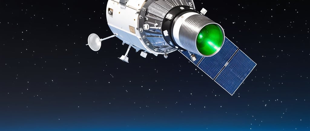
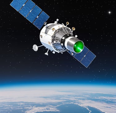
ICESat-2, launched by NASA, represents a significant advancement in our ability to monitor Earth’s natural systems. Specifically designed to measure elevation changes over time, this satellite plays a crucial role in understanding the dynamics of polar regions, including Greenland and Antarctica. By gathering data on sea ice thickness and extent, glaciers, and ice caps, ICESat-2 helps scientists paint a clearer picture of our planet's climate and its ongoing transformation.
How ICESat-2 Works
The capability of ICESat-2 to track ice melt is largely due to its innovative laser technology. It fires green laser beams at a wavelength of 532 nm toward the Earth’s surface. This method allows the satellite to measure the round trip time of the light, providing highly accurate data on surface elevation at an exceptionally fine resolution. The precision of these measurements is critical for detecting subtle changes in ice thickness, which may occur over extended periods.
Moreover, ICESat-2’s ability to perform repeat passes over specific areas enables scientists to monitor changes in ice sheets and seasonal snow loss over weeks, months, and even years. Such longitudinal data is invaluable for understanding the impacts of global warming and how these changes may affect global sea levels.
Broader Applications Beyond Ice Measurement
While the primary focus of ICESat-2 is on polar ice sheets and glaciers, its applications extend far beyond these critical areas. The satellite data is instrumental in assessing forest canopy height, which has important implications for biodiversity and carbon storage in forest ecosystems. Furthermore, it aids in the mapping of inland water bodies and urban elevations, providing essential data for land use planning and environmental management.
In summary, ICESat-2 is not simply a tool for measuring ice; it is a multifaceted instrument that contributes to a broader understanding of Earth's changing environment. By accurately monitoring elevation changes over time in various ecosystems, ICESat-2 allows researchers and policymakers to make informed decisions in the face of climate change.